It
must be spring, since now I’m choosing cooler days to go hiking. The
last couple weeks have seen temps in the upper eighties and even a ninety-degree
day. March has also been unusually dry,
most of northwest Arkansas is under a burn ban.
Last night a fast moving storm front blew through but we didn’t get much
rain, maybe half an inch. So instead of
looking for waterfalls, today I’ve decided to check out a rock climbing area in the
northern part of Richland Creek Wilderness.
 |
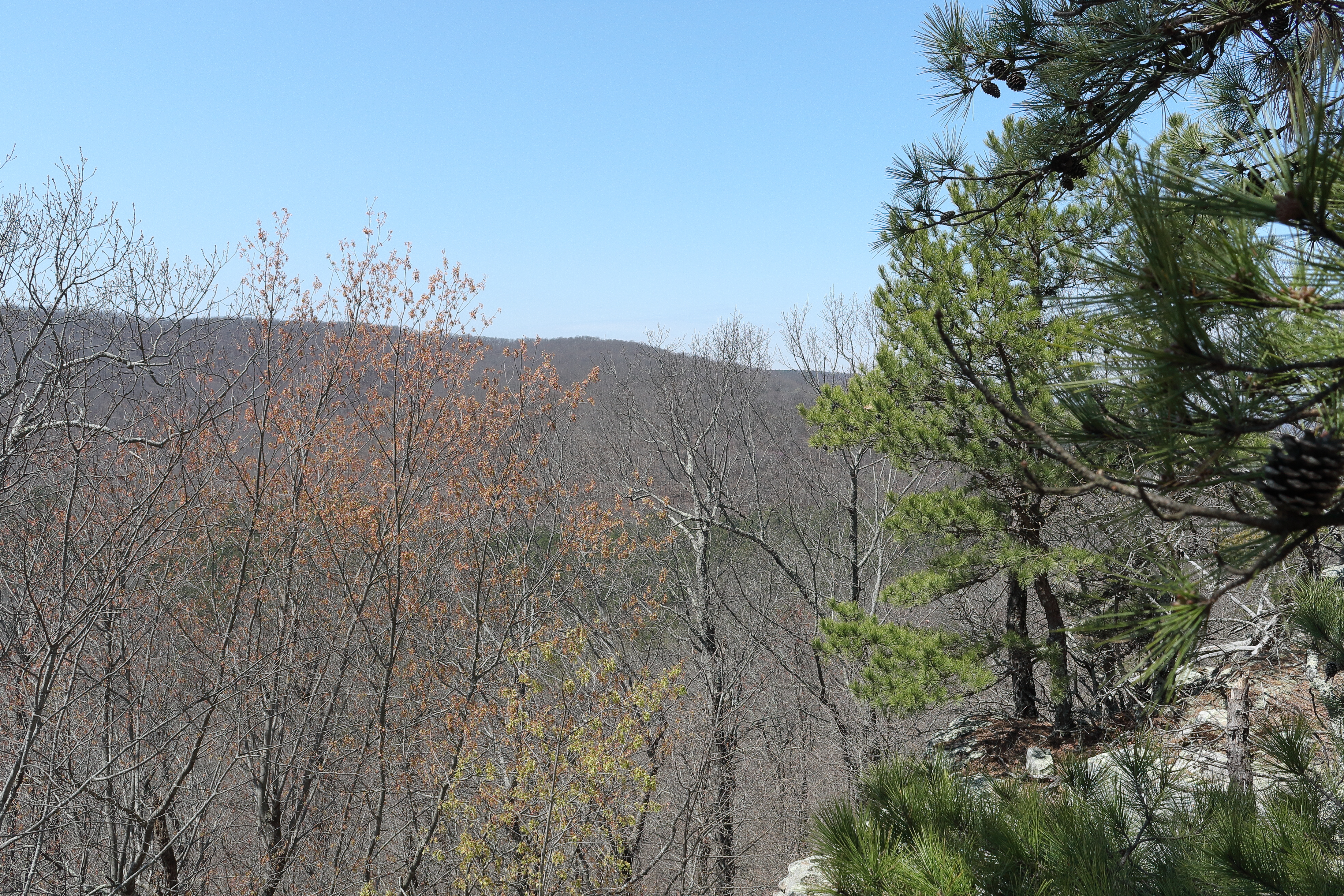
nice vistas one after another
|
Parking
is at a road blocked by a Forest Service gate, there’s plenty of room here
for five or more cars just off Falling Water Road (FR 1205). I’ve heard of ‘Heaven Boulders’ and ‘The Wasp’
climbing areas, but without any firm coordinates I expect a bushwhack, at
least until a trail turns up. Through a ‘diversion
channel’ I head west into the woods, had I known better I would have gone up
the road 250 feet to an obvious trail west. |
| big parking area @ Heaven Boulders |
 |
Boulder 1 below the bluffline
|
The
woods are pretty clean, so this is easy and soon I start seeing big
rocks everywhere, before long I land on that good obvious trail at the
bluffline. This bluff starts out about ten feet tall or less but will eventually reach 30-40 feet. Right away in this small area is a
nice twelve foot wet weather fall with a big cedar at the top, then an intersection in front of a small low
shelter with rock rubble on the floor. I
turn downhill to the huge boulders below the bluffs. |
Boulder 1
|
 |
flat face on Boulder 3, slanting Boulder 4 behind
|
Still
on a good trail that weaves around and between seven huge boulders, the first
two and the last are probably the biggest, but they’re all big. Most have rock overhangs creating small
shelters or covered alcoves, the smallest ‘Boulder 4’ is slanted and leaning
against ‘Boulder 5’. Boulder 3 has a
flat vertical face on the north side, all the boulders and the bluff too have
abundant hand/foot holds, so it's no wonder climbers call them ‘Heaven
Boulders’.
 |
| typical overhang shelter |
 |
approaching base of bluffs
|
At
the last boulder the trail ends, rather than go back the way I came, I head up
the hill through the mostly open woods to the base of the bluffs near its west
end. The entire bluffline is only about
700 feet long, I make my way back east along the bluffline. Right away is a narrow bear crack going up to
the top of the bluff but I continue along the base. And soon come to a little shelter next to a
mossy puddle (too small to call a pond), then 200 more feet is a tight crevice from top to bottom.
 |
| narrow bear crack |
 |
easy hiking along base of bluffs
|
Two
hundred more feet and I’m back at the little low shelter behind the trail
intersection (did I say 'it's a small area'?), followed by the nice little waterfall then soon a small bear
cave. By now the bluffline has
ended with lots of big rocks littering the hillside. And just 150 feet further this ‘obvious’
trail ends at Falling Water Road just uphill from my parked truck. |
| top to bottom crevice |
 |
Big Cedar Falls (dry today)
|
Heaven Boulders is a nice little area that shouldn’t be overlooked, and so easy to hike. The little loop I did, with a short bushwhack to begin, there and back including exploring around and between the boulders was only 0.7 miles with under 100 feet of elevation gain, these numbers would have been even lower had I found the trail from the start.
 |
| puddle shelter |
 |
| parting shop from Heaven Boulders |
Heaven Boulders: Statistics Chart 195A There are entry points from every direction to the edge of Richland Wilderness, it just depends on where you’re coming from. Today since I came to the north side of the wilderness coming in from Bass was the logical choice. From the brand-new bridge over Cave Creek (March 2025), head up the mountain on Bass Road (NC 5070) about 4.4 miles to the ‘triangle’ intersection where south is Moore Road and north is Falling Water Road. Go north on Falling Water Rd. (NC 5080) about 2.3 miles for Heaven Boulders parking on the east side of the road (see map at bottom).
 |
| a view from The Wasp Bluffline |
 |
backed in the driveway just off the road
|
Heaven
Boulders is just a warm up for The Wasp, back in the truck I head south almost four
tenths of a mile to the next parking spot.
This one on the west side of the road and tiny, I back in what
was probably once a driveway, just getting off the road. A few feet behind my truck is a small sign
saying something like no vehicles in the wilderness. Heading west, this overgrown driveway is soon
just a trail which fizzles out entirely at an old homesite. |
daffodils and stacked stone @ old homesite
|
Here are some meager stacked stone ruins and a
nice bed of blooming daffodils, down below the house is an old rock wall. Now completely ‘off-trail’ I follow the rock
wall west hoping to intercept the bluffline near its north end. Soon running into big patches of greenbrier I’m
forced around a couple of them and end up down the hill well below the base of
the bluffs (not where I wanted to be). Making my way back up the
hill I find another short rock wall. |
bluffs start small and get taller quick
|
Eventually I make it to the base of the bluffs
and the hiking conditions improve dramatically, soon is the first of many small
shelters. None of the little shelters
are very impressive, I guess for me to get excited about a shelter it has to be
big enough to walk around inside. So I’ll
mention only a few of them, the many rock overhangs and huge boulders with
passages between are a little more exciting, all in all though; everything
contributes to an enjoyable hiking experience. |
impressive bluffline on sunny spring day
|
About 50 yards from that first shelter is a
small almost dry creek cutting up through the bluff at a gentle angle providing
an easy bail-out exit, just beyond I come to a dead end on the rock
ledge and must backtrack to the almost dry creek. Down the creek loosing maybe 30 feet in
elevation then I continue south along the now taller bluffline. Soon just after another small shelter is a ‘small’
cave, peering in I can’t see the back but to explore inside would involve
crawling on hands and knees. |
small cave in bluff
|
A hundred yards further is a nice rock overhang
with lots of mud-dauber nests on the walls, I’ve seen a few of these already
and will see more in just about every dry overhang or little shelter I
pass. The rock climbing area along these
bluffs is known as ‘The Wasp’ the many mud-daubers no doubt inspired the
name. Interestingly though I’ll see no evidence
(climbers bolts) of climbing routes, meaning this must be more of a ‘bouldering’
destination. |
more from the base of the bluffline
|
I soon cross the next little creek with a
bail-out exit up the slippery wet bedrock, past this point the bluffs and
boulders step it up considerably in the impressive scenery
department. Along with the improved
scenery comes slightly more rugged hiking conditions, a trade off I’m more than
willing to take. With all the giant
boulders about, I’ll call this area 'Boulder Ville', between the bluff and
boulders are numerous passages. |
hiking along the bluff is easier than below in the brush
|
Not to be sidetracked by all the amazing
boulders I try to maintain a generally southerly heading, but someone could
easily spend hours here exploring all the passages around bluffs and
boulders. One passage that I do go
through has a couple vultures perched up on top the giant rock gazing down at
me, I’ll call this spot ‘buzzard pass’. |
| wasps nest under dry rock overhangs |
 |
lone boulder below bluffline
|
Still headed south are more little shelters and
in about 100 yards a nice waterfall with shallow grotto behind, my estimate puts this sheer drop waterfall at 20-25 feet.
It has some flow today but could use more, I pass behind the falls and
in 100 more yards another overhang shelter, this one maybe a little bigger than
most. After which is an area of extensive
rock falls, big sharp rocks out in front of the bluffline. |
| the big giant head |
 |
crevice or bear crack?
|
I head down the hillside some, and around this
big rock jumble then back up toward the bluffline passing a good sized
rock-fall shelter along the way. After
this shelter I get tangled up in some rusty barbed-wire and hit the deck, breaking
the fall my hands take the worst of it but nothing too painful, I’ll live. Still in the big sharp rock littered area I
decide this could have been the result of a landslide long ago. |
vulture on the rock
|
Anyway, I continue about a hundred more yards to
where the bluffs ‘shrink’ briefly, here are a few options for an easy exit, since the bluff is less than ten feet tall.
I make my way up to the top and turn back north on the edge of the
bluffs to some fantastic flat vista rocks, these flat points of stone stretch
north for maybe 70 yards. At a deep inset
to the east I leave the bluffline and head uphill to the northeast. |
| wide passage between boulder and bluff |
 |
falling water glistening in the sun
|
Angling uphill to keep the grade easy through
the mostly open woods, this isn’t bad at all. After a couple hundred yards I
come along the bedrock creek bed that feeds that nice waterfall I passed behind
earlier. Following the creek I come into
an area that has recently seen a prescribed burn, now the woods are really
open and clean, I soon find a good trail. Near
the edge of the burn area is pink and black striped flagging tied in trees. |
| more passages... |
 |
and more boulders
|
Exiting the burn area I lose the trail, now the
woods not quite as clean include greenbrier occasionally and thick patches
almost continuously of wild blueberry, still pretty easy sailing and in only
about 100 yards I’m on Falling Water Road heading north back to my parking
spot. After landing on the road in 130
feet I see a trail heading off the road into the woods, probably the trail I
lost near the end of the burn. From here
it’s under 400 yards to the truck and end of today’s adventure. |
jagged rock-fall
|
I didn’t really have much information about the
area coming in to the hike today, but sometimes that’s the best way to go, you
don’t have ‘high expectations’ and everything found comes with that great ‘sense
of discovery’ so even though I scraped up my hands and bruised my knees, I still
had a great Outdoor Adventure in the Ozarks. The loop hike along The Wasp
Bluffs was 2 miles with 250 feet of elevation gain. |
views from the top
|
The Wasp Bluffline: Statistics Chart 195B See the directions above at the end of the Heaven Boulders blog-post, from that parking area (R9) go another 0.4 miles for a tight driveway parking spot and access point to ‘The Wasp’ bluffline. If you happen to be coming up from the south on Falling Water Rd. this 'tight parking spot' is about 0.8 miles north of Dickey Junction.
 |
| base map before fair use alterations is property of USGS--licensed under Creative Commons Attribution-Noncommercial-Share Alike 3.0 U.S. License |


Comments