187 Centerpoint Trailhead to Goat Trail

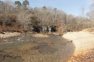
The Centerpoint Trailhead always seems to be full to capacity to the extent that an entrepreneur across the road now offers ‘secure parking $5.00’. Many times we’ve driven past saying ‘someday...’ well today is the day, I pull in at 10:00 with only one vehicle in the medium size parking lot, sure it’s the middle of the week but this trailhead is always popular. views for miles from Goat Trail And why not , Centerpoint Trail provides access to literally every inch of Ponca Wilderness. Ponca is unique having lots of trails crisscrossing the wilderness, making exploration easy. And Centerpoint may be the easiest entry point into the wilderness, since the trailhead parking is located right on State Highway 43, paved all the way. All of this contributes to the trailheads popularity, but the biggest reasons for a full parking lot are Eva Henderson’s old home and The Goat Trail. trailhead warnings Chimney Rock Trail ...