135 Clabber Creek to Cedar Creek

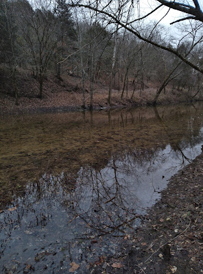
Most folks who go hiking in the Ozarks, know old roads make good hiking routes, many established trails follow these old roads. The thing that seems strange to me, why do ‘map makers’ choose not to show old roads in wilderness areas? The roads didn’t just disappear when the wilderness designation was approved by congress, and since they do make for some great hiking, why remove them from the maps? Today I’m going hiking assuming that an old road exists between Clabber Creek and Cedar Creek along the Buffalo River at the edge of the Lower Buffalo Wilderness, hopefully I’m right, otherwise this will be a long day. Clabber Creek at Crossing Down at the bottom of Rush Road past the canoe launch area, I drive the road as far as I can. Going through some deep mud holes along the way I park at ‘Rush parking area 4’ on a leveled hill above the confluence of Clabber Creek at the Buffalo River. From here in the par...

