It has been a month since we last got out to do any hiking, and we’re really ready for some nice
weather. Today while not exactly a heatwave is
supposed to feature calm winds and sunny skies with highs approaching 60
degrees, sounds like 'hiking weather' to me, so I’ll take it!
 |
Stepp Creek Falls
|
We load up our gear and head south for Stepp Creek Falls. Stepp Creek is a major
tributary of the Little Buffalo River and contains some great scenery including bluffs, caves and waterfalls. About a half mile north on NC 8913 (FR92755A), we park just off the road on the left.
This parking spot is where an old road once intersected here, now it’s a
parking spot and an easy access down to Stepp Creek. |
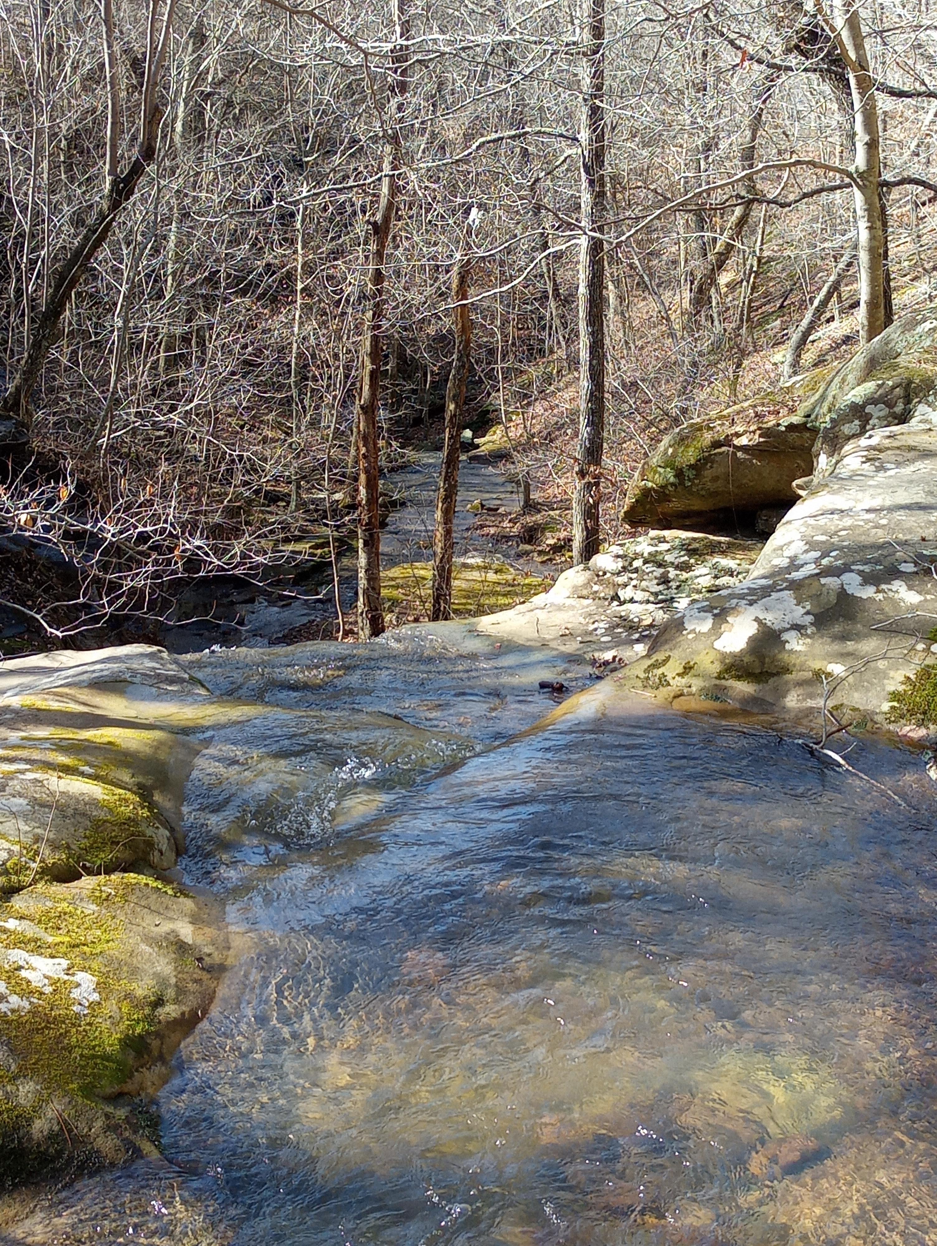
Side Stepp Creek
|
We start northwest on this old road trace which soon turns more
north just past an old rock wall. The
trail heads slowly downhill, this is easy hiking, off to our left we can see Sidestep Creek at least 100 yards down below the trail. After about half a mile we leave the road and bushwhack down the hill to the creek.
Sidestep Creek is a little side
creek that flows into Stepp Creek
(see how that works?) I think Rick Henry came up with the name.
 |
rocky Sidestep Creek
|
Where
we arrive at the creek, is just downstream of Sidestep Tier Falls a lovely
little 3-tierd waterfall, wider than it is tall.
And just a short distance downstream is Sidestep Cascades which tumble
downstream intermittently for the next 100 yards to Sidestep Falls. At only 5-6 feet tall Sidestep Falls is very picturesque, we take a little break since bushwhacking along the
creek tends to wear us out pretty quick. |
Junction Falls
|
Continuing downstream we notice a rocky shelter up above in the bluff
east of us. I take a short side trip up
the steep hillside to the bluff shelter; this involves some rock climbing but
nothing dangerous. This shelter is kind
of cool but nothing too exciting, I head back down to the creek where Kat’s
waiting and we continue down the creek.
 |
small falls on Sidestep Creek
|
So far our bushwhack downstream has involved several creek
crossings, all of which we rock hop across
without getting too wet. We soon come to
the end of Sidestep Creek at the confluence with Stepp Creek. This is the location of Junction Falls
another gorgeous 6 or 7 foot waterfall similar to Sidestep Falls but with more
water.
 |
Lower Stepp Falls
|
Leaving Junction Falls we start upstream on Stepp Creek. With boulders and downed trees littering the
creek its sort of an obstacle course for the next 100 yards to Lower Stepp
Creek Falls which is
nothing less than beautiful. The ledge
style falls is 8-10 feet wide and 12 feet tall with a beautiful blue pool below
it.
 |
Sidestep Creek
|
All this plus Stepp Creek Falls
clearly visible just upstream makes Lower Stepp Creek Falls the highlight of the hike. After lengthy admiration and lots of picture taking, we scramble up the pretty steep north bank past the top of Lower Stepp Falls
and on to Stepp Creek Falls. This is the
big one here on Stepp Creek and a
wonderful waterfall it is.
 |
below Lower Stepp Falls
|
We spend some
time here too, partly contemplating the best way to climb up and continue
upstream. Again, we climb the steep north
bank to the top of Stepp Creek Falls.
Here at the top of the falls, the creek is narrow and flows over solid
bedrock. Also up here is a gorgeous view
downstream past the falls down into the steep Stepp Creek canyon.
 |
Stepp Falls
|
Also on top of the falls the creek has flattened out making for easy
hiking, upstream just a hundred yards above the north bank is a small shelter
with evidence of a campsite. From here
it’s just a short bushwhack due south across the creek and up a little hill to
the same old road that we came in on. We follow the road to the west, on the road through here is thick saplings and other thick undergrowth which makes for some tough going.
 |
at the top of Stepp Falls
|
We soon come to an opening in the hillside to
the left (south) with a tiny and steep drainage coming down, near the
top is another rock wall. Continuing west on the old (choked out) road we swing around to the south
and most of the undergrowth clears out. Now we make
much better time and soon are back to the point where we left this old road and
scrambled down the hill to Sidestep Creek.
 |
both Stepp Falls
|
We continue straight ahead (south) on the old road and soon arrive back
at the car. Since the only ‘trail’ here
is the road and a volunteer trail along Steep Creek, then I guess you could say this is mostly a ‘bushwhack’. It's an easy
bushwhack though, a little scrambling up
and down some moderate slopes, some thick underbrush here and there, just keeps
everything interesting.
 |
Lower Stepp Creek Falls
|
And the beautiful
waterfalls and gorgeous scenery make it a great little outdoor adventure in the Ozarks no matter how you look at
it. Today our hike on Sidestep and Stepp Creeks was 3
miles with under 400 feet elevation gain, that includes the little
side trip I took up to the bluffline shelter.
 |
rest stop
|
Stepp Creek: Statistics Chart 39 It isn’t hard to get here, turn north off Hwy.16
onto NC 8913 (FR92755A) which is about 3.75 miles east of Edwards Junction or 7.2
miles west of the 90° turn in Deer, then about 0.6 miles north on NC 8913 to
the parking spot at an old road intersection on the left. |
base map before fair use alterations is property of ArcGIS-
-licensed under Creative Commons Attribution-Noncommercial-Share Alike 3.0 U.S. License |


Comments