For a hike today we're looking for something short and easy without a long drive time, and since we have never hiked any of the Buffalo River Trail (BRT), we thought 'let's try it out'. I really don’t know why we hadn't tried the BRT sooner, maybe I thought it’s just too long for day hikes. Or maybe it was that the Buffalo River is a very popular place, the trails will probably be over-run with hikers...
 |
bluffs at Pruitt (early fall)
|
Well, whatever I thought, I sure was wrong. With a good map and a little planning, I now
realize Buffalo River Trail can easily be broken up into day hike sections, and today at least, the trail seems deserted. We begin at Pruitt Day Use/Picnic Area, which is at the east end of the upper river section of the BRT, the west end at South Boxley Trailhead. Pruitt Trailhead in the back of the picnic area is accessed just west of the old steel Buffalo River bridge over Highway 7. |
trailside view of the Buffalo River
|
The
BRT, marked with white blazes nailed on trees, heads west through the day use/picnic area then into the woods where it
turns south. We cross a wooden
bridge over a gully and soon come close to the river below on our right. There’s a lot of traffic noise here below the
highway, the trail is close enough to hear the traffic for over
half a mile, but it’s rarely seen since we are about 100 feet below the
roadway.
 |
the Buffalo down below
|
Along this section of trail, we
pass two wet weather waterfalls and then come to a nice overlook of the
Buffalo River. Past the overlook the
trail climbs pretty steeply along a low bluff then turns across a little
drainage and another wooden bridge.
Continuing along we hike up and down, in and out of little side drainages
that take us further from the Buffalo.
 |
| another river vista from the BRT |
Coming to a good-sized pond on our right, the trail circles
around the west end of the pond to a spring that feeds it. Just beyond on our left is evidence of an old
homesite, consisting of nothing more than some foundation stone. After crossing the
next little side creek is a campsite next to the trail. Looking down this creek we can
see a house down close to the river. Soon we come to and cross a road which is access to the house.
 |
rock steps
|
Another quarter mile brings us closer to the Buffalo and some nice
views down to the river where there are a lot of white barked sycamores before turning to
the southwest and into the next side drainage.
Above where we cross this creek is a nice wet weather cascade. Around the head of the drainage and into
the next, the trail comes to an intersection with the Old River Trail (ORT) and another trailside campsite. Up the other
side, we turn left at the top on the bluff above the river.
 |
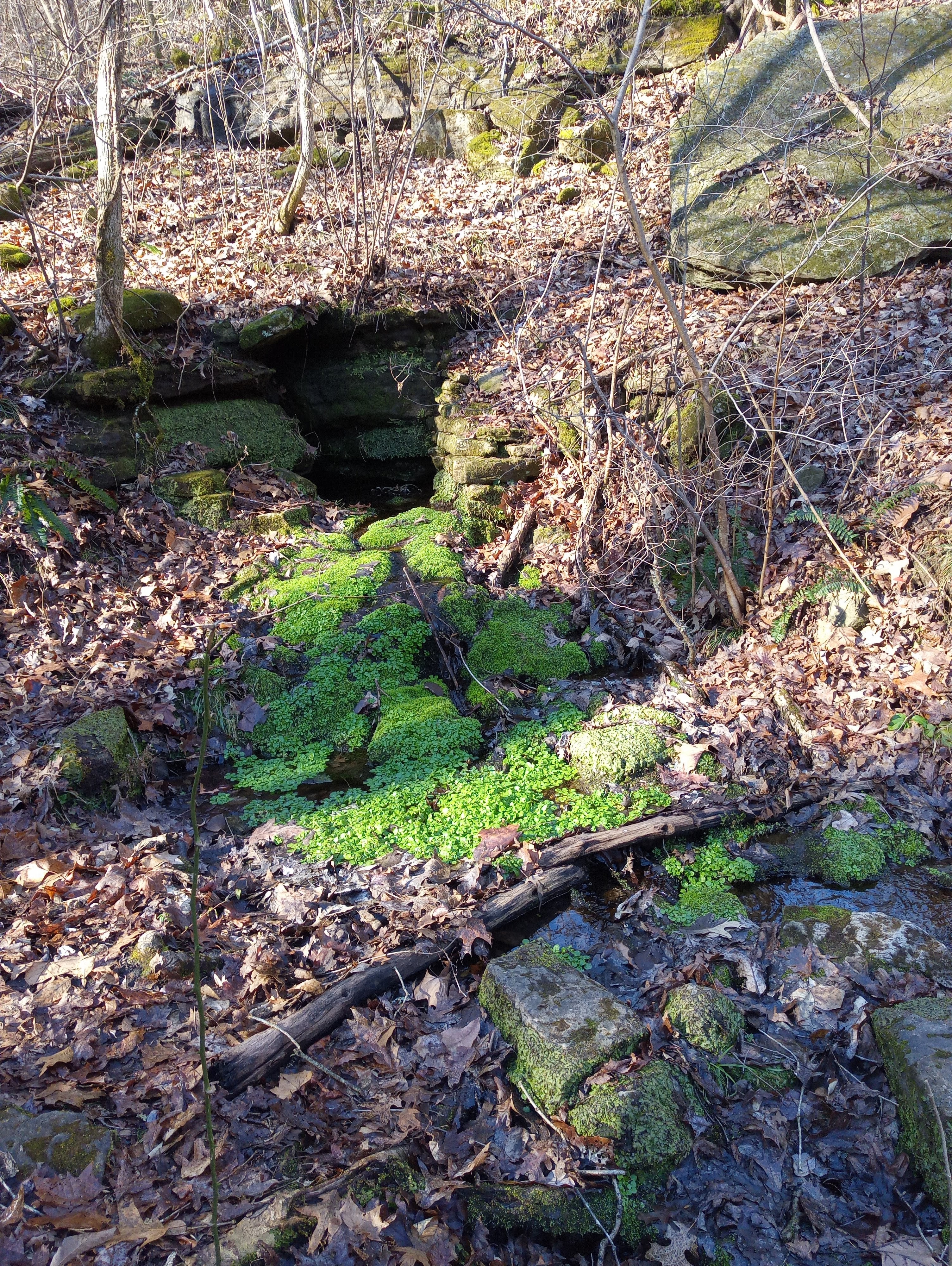
spring along trail
|
Along with some nice views of the river is an old rock wall. As we turn away from the bluffline and river,
we begin heading downhill and start to catch glimpses of Ozark Campground below.
We soon reach the bottom at the Ozark Campground Trailhead which is next to a
campsite reserved for the campground host. |
at Ozark Trailhead
|
While Ozark Campground marks the end of this section of the BRT, it
is also our half-way point for today's hike, since we’ll be going back the way
we came. After a little rest and some
snacks at a picnic table in one of the campsites, we start back to the car. On the return hike to Pruitt, we make a little better time but with a different perspective it is still just as enjoyable as was the hike in.
 |
spring fed pond
|
One nice thing about an ‘in and out’ hike like
this is you sometimes miss something interesting going in that you then notice
coming out. Anyway, today we finally
hiked a short section of the Buffalo River Trail and decided we would like to eventually
hike the whole thing. It may take years, but we’ll keep plugging away at it.
According to the sign at the trailhead Pruitt is 2.5 miles from Ozark Trailhead, we doubled that and then
some: 5.5 miles total according to the GPS with 200 feet elevation gain.
 |
stone steps
|
Pruitt Trailhead: Statistics Chart 36 Update on getting there, the old narrow steel bridge is no more, the new wide curving Highway 7 bridge is pretty nice. But be careful, with all the ‘room’ on those nice wide lanes people tend to fly across the bridge. The entrance to Pruitt Day Use Area and Pruitt Trailhead is at the south end of the new bridge. |
| base map before fair use alterations is property of USGS Topo--licensed under Creative Commons Attribution-Noncommercial-Share Alike 3.0 U.S. License |


Comments