These days Chancel is just a name on the map, but back in the day it was a
small town with a store/post office and who knows what else. Not much remains other than a few old home
sites down near Hurricane Creek. One
thing that is still there is the fantastic bluffline with cliffs, caves,
shelters and more. It isn’t hard to get
to Chancel, and only two miles down a dirt road to the parking spot.
 |
pedestal near top
|
In a hairpin downhill curve, we pull onto an old road, more of an ATV
trail now, and find a spot to park off the road. As
we’re hiking down the old road headed south, we both agree that we could have
driven the car this far. I do this often; we’ll
be walking down one of these old roads saying to ourselves “this could be
drivable”.
 |
a little rugged
|
But always scout it out
first, the big problem I have found is getting to a point where you can’t go
any further and there’s nowhere to turn around.
Today we did find at least two places where we could park off the road
and turn around easily. But then the
road gets narrower and rutted as it starts heading downhill, first to the left
then right.
 |
cat in the rock
|
By now we’re getting pretty far down into the valley and notice up above
on our right (north) a couple nice pedestal rocks up in the woods and I realize we have stayed on the road
too far. At the next turn in the road
(downhill to the south), we leave the road and begin to bushwhack back up to the
pedestals.
 |
side by side pedestals
|
It starts out steep uphill,
but fairly wide-open woods without much undergrowth. The closer we get to the pedestal rocks the
rougher the terrain gets and soon we’re climbing over and around large rocks
that have broken away from the bluff.
Finally at the southwestern most pedestal we realize where we left the
road below is probably close to a hundred feet down the hill. Needless to say, we’re pretty worn out. |
pedestal rock from below
|
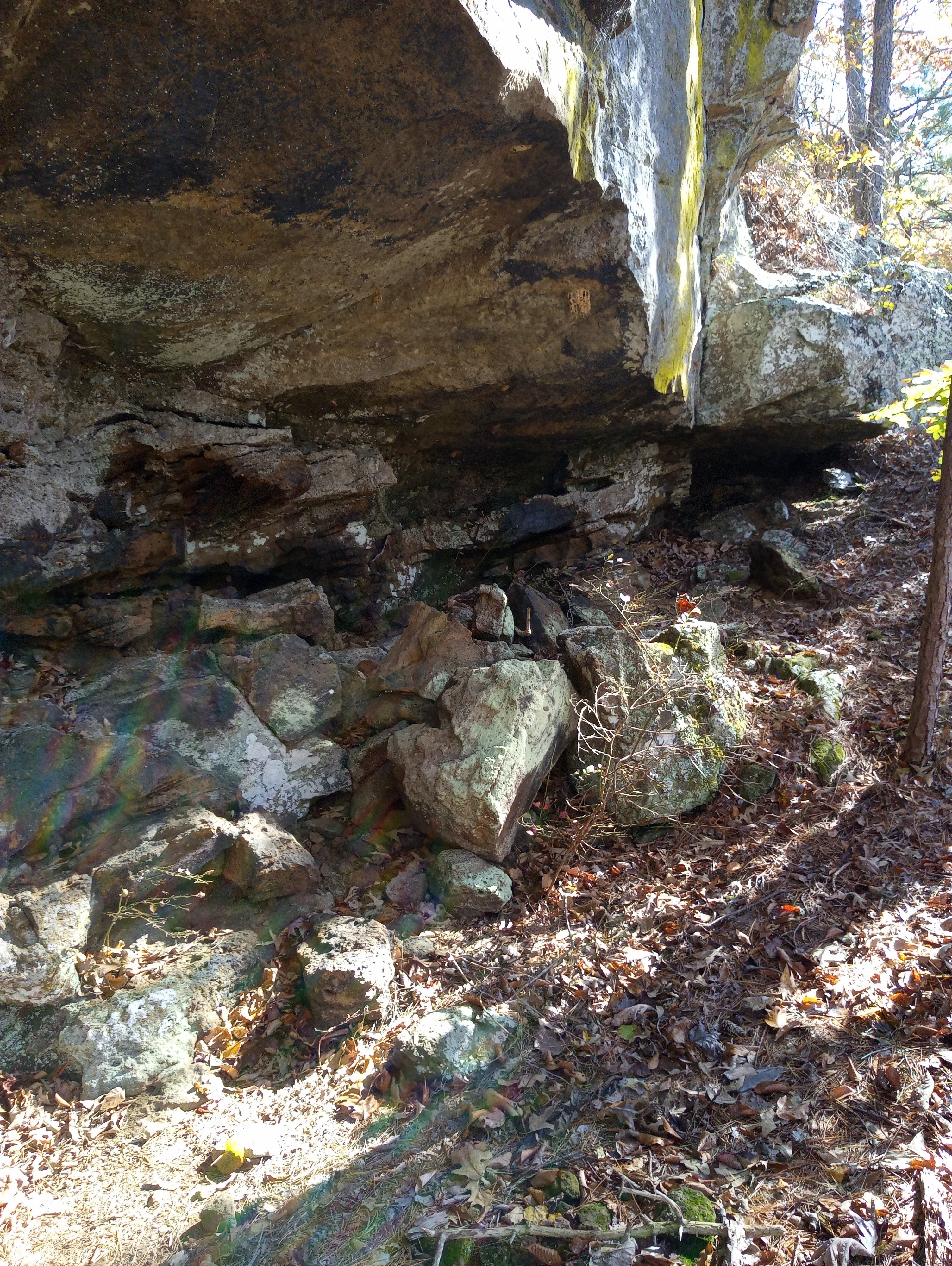
After a little rest we start to look for the ‘shelters’ to the
north. Not known to me at this time, we
are too far down the mountain, the only shelter we find is under a short bluff
where some large pieces of rock have broken and fallen away to create a small
shallow grotto. We continue climbing up
and down looking for the illusive base of the bluffline.
 |
wet weather falls beside road
|
We’re both getting worn out again and frustrated, by now we just want to
find a way out of here that doesn’t involve going back down to where we left
the road. Then up ahead we notice a
clear spot on the ridge that looks to be a 'doable' climb to the top. It is steep, but with the aid of every little
tree we can grab hold of, we make it to the top. |
old house in Chancel
|
To our surprise (and relief) the road is
right here at the top of this little ridge.
From this area we could access the two pedestals just to the
south easily, and to the north I can see what looks like the gradual beginning of a
bluffline. Could it be the way to those
illusive shelters? (Stay tuned) we are
just too tired to continue, especially since we just don’t know… |
'no this isn't one of the shelters'
|
Today we only hiked a little over two miles, and half of that was on the
old road. But it felt more like six
miles thanks to the up and down bushwhack including rock climbing, sliding
around on steep slopes composed of dead leaves and hidden loose rock. We’re lucky no one fell and got hurt. But now I think I know where we went wrong, and I also know we'll be back. For the return visit with stats chart and map see: (75 Chancel Shelters).


Comments